$235b of NZ buildings exposed to flooding
21 Nov 2025, Industry News, News
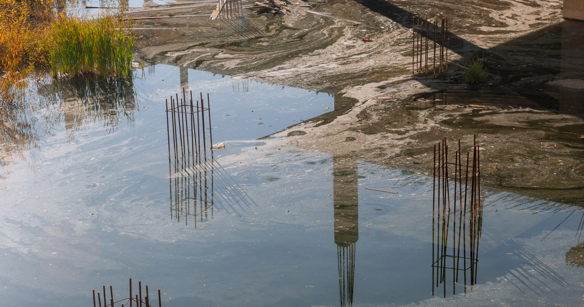
A new national flood-hazard model developed by Earth Sciences New Zealand (ESNZ) has revealed that $235 billion worth of buildings across the country are exposed to flooding, with risk expected to grow as the climate warms
Released on 30 October 2025, the model is the first to map rainfall-related flood risk across all of New Zealand. It is accompanied by a public online viewer designed to allow councils, planners and property owners to examine flood exposure at regional and national levels and assess how those risks shift under different climate warming scenarios.
Principal climate scientist at ESNZ, Dr Sam Dean, said, our new flood hazard viewer provides a clearer view across the country of which communities are at greatest risk from flooding, now and as the climate changes. The tool can be used to support risk assessments and adaptation investment decisions.”
The results stem from a five-year research project led by ESNZ in collaboration with universities, councils, government and other research organisations.
Buildings, people and infrastructure at risk
The data shows that over 750,000 people in New Zealand are currently living in areas exposed to flooding from one-in-100-year rainfall or river flooding events. This number increases to 900,000 as the climate warms by 3°C.
Approximately $235 billion worth of buildings nationwide are currently exposed to flooding, with that figure projected to increase to $288 billion under a scenario of 3°C of additional warming.
Regionally, Canterbury has the highest value of buildings exposed to floods at $50.3 billion. This is followed by Auckland at $42.5 billion, and Wellington at $27b.
Much of the country’s infrastructure is also at risk, with an estimated 26,800km of roads and 14,100km of stormwater pipes located in flood-exposed areas, along with 21% of electricity sites.
“Increasing extreme rainfall due to climate change is one of the biggest and most impactful hazards faced by New Zealand,” said Dean.
“The building of our towns and flood defenses has been shaped by historical floods that are no longer a reliable guide to the future. Predicting how flood risk is going to change is important to ensure we can protect people and places that we value in the most cost-effective way.”
Hawkes Bay council welcomes data
Hawke’s Bay Regional Council has welcomed the release of ESNZ’s national flood model, describing it as a valuable tool that reinforces the region’s existing understanding of climate-driven flood risk.
With a projected $6.1 billion increase in the value of exposed buildings under 3°C of warming, Hawke’s Bay faces the highest proportional rise in flood risk nationwide.
“We know that around 84% of our population live and work on two major floodplains, the Heretaunga and Upper Tukituki,” said Siers.
The Council has already invested in upgrading flood protection infrastructure and is planning long-term resilience projects, including a $250 million package of new schemes in partnership with central government.
ESNZ model not to replace LIMs and PIMs
ESNZ’s flood model provides a national overview of flood risk but it is not intended as a substitute for localised maps already developed by many of New Zealand’s regional and unitary councils.
“It does not replace them. Local and regional flood models can provide the precision needed to understand property-level risk and to design infrastructure,” said Dr Emily Lane, principal hazards scientist at Earth Sciences NZ.
Builders and designers can use the ESNZ viewer to support site assessments, alongside more detailed council-sourced tools like Land Information Memorandums (LIMs) and Project Information Memorandums (PIMs).
Impact on builders
Natural disasters are one of the top ten risks identified by builders, according to Builtin’s construction risk and insurance expert Ben Rickard, who works closely with builders around the country.
“This data is key to future proofing where we build, as there are only so many ways to mitigate flooding of this nature on a building site,” said Ben.
Some of the ways builders suggested protecting themselves and their gear in an actual flood event included:
- Keeping tools and materials elevated in high-risk zones.
- Ensuring stormwater management on site is as expected.
- Having insurance.
- Have a prepared emergency management plan ready to go.
- Keep an emergency supply of items likely to be in demand after a flood (eg, a generator).
Ben says while it’s great to see builders taking proactive steps, research on solutions that could avoid the impact of flooding altogether is critical to reducing damage over the longer term.
Register to earn LBP Points Sign in